Travel to Brunei Part 4
Overview of Temburong
Brunei has an enclave called Temburong (see map).
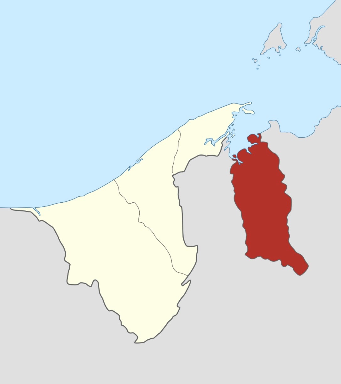
Location of Temburong
(Source: Wikipedia)
It is a naturally rich area, but in recent years, there have been plans for smart city development and eco-town development. (ERIA Temburong Master Plan 4)
Temburong Bridge
A bridge spanning 30 km, opened in March 2020. Access to Temburong has become significantly easier.
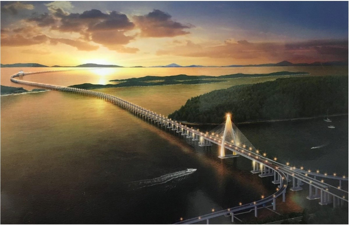
Temburong Bridge
Source: ERIA Full Report – Formulation of Temburong Eco Town
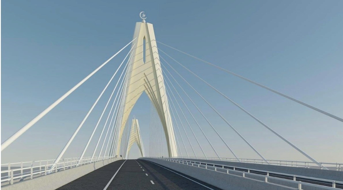
Temburong Bridge
Source: ERIA Full Report – Formulation of Temburong Eco Town
<Reference> From Mr. Okouchi's Youtube
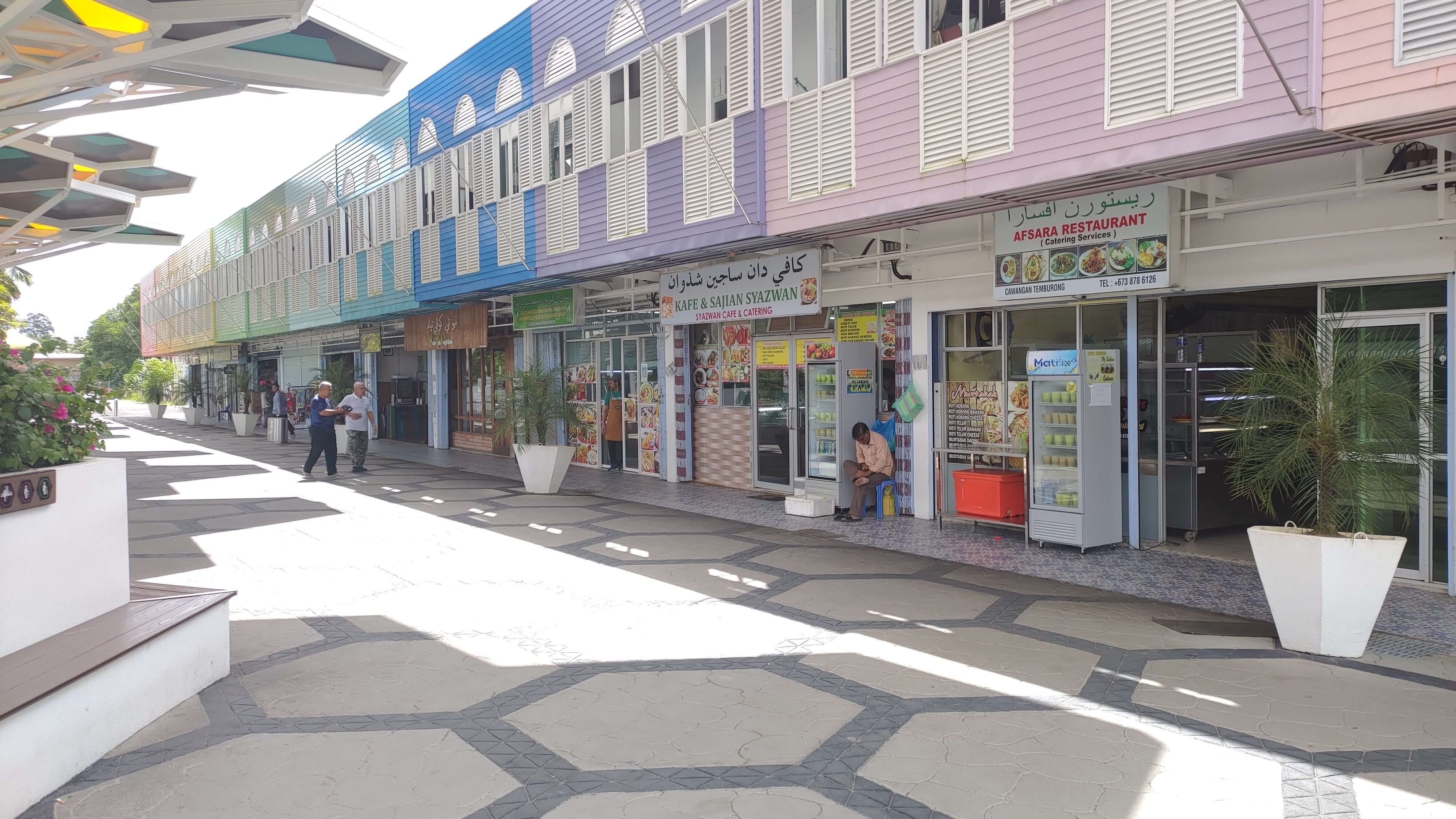
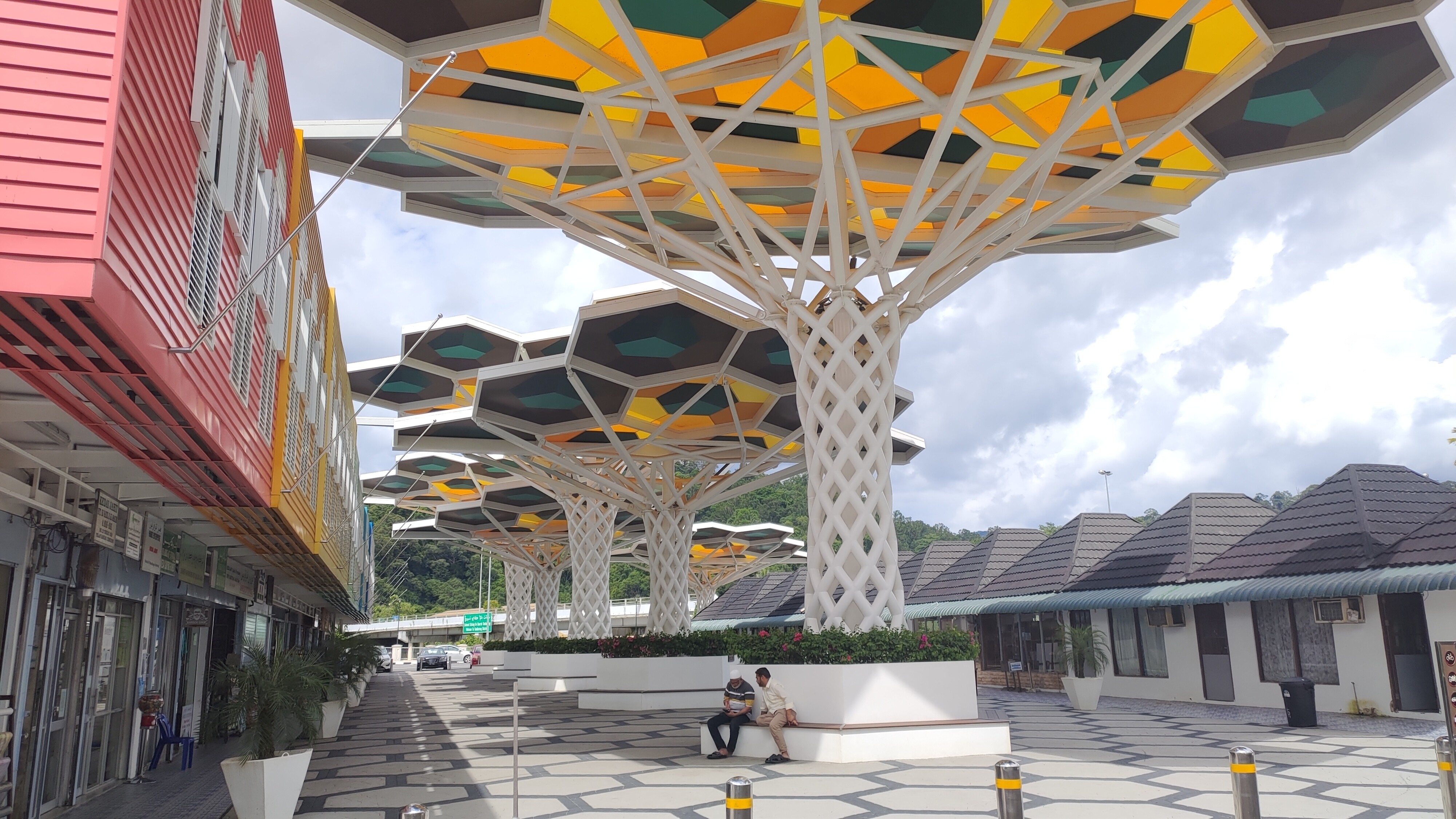
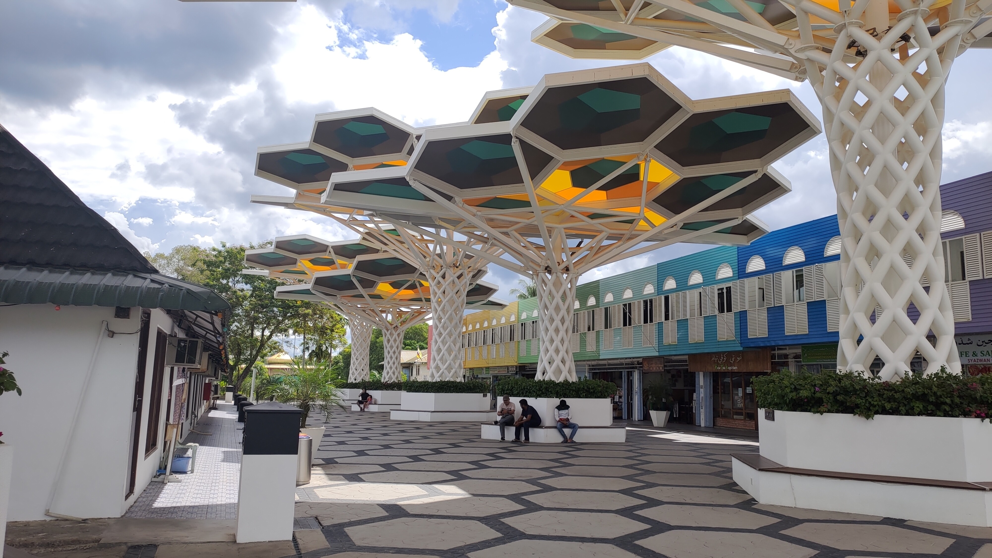
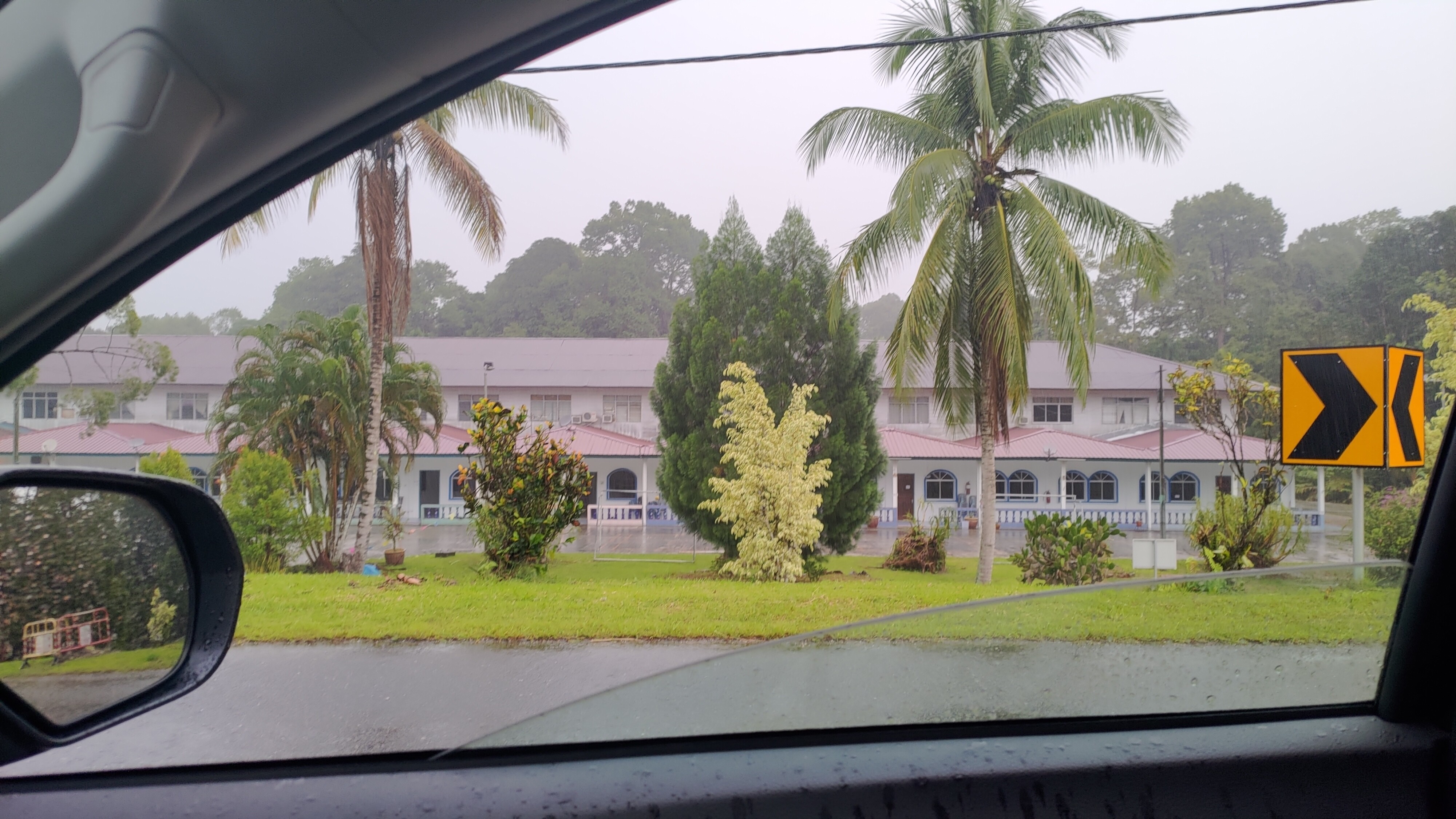
Bangar Development Area
The Bangar area, which is the center of Temburong
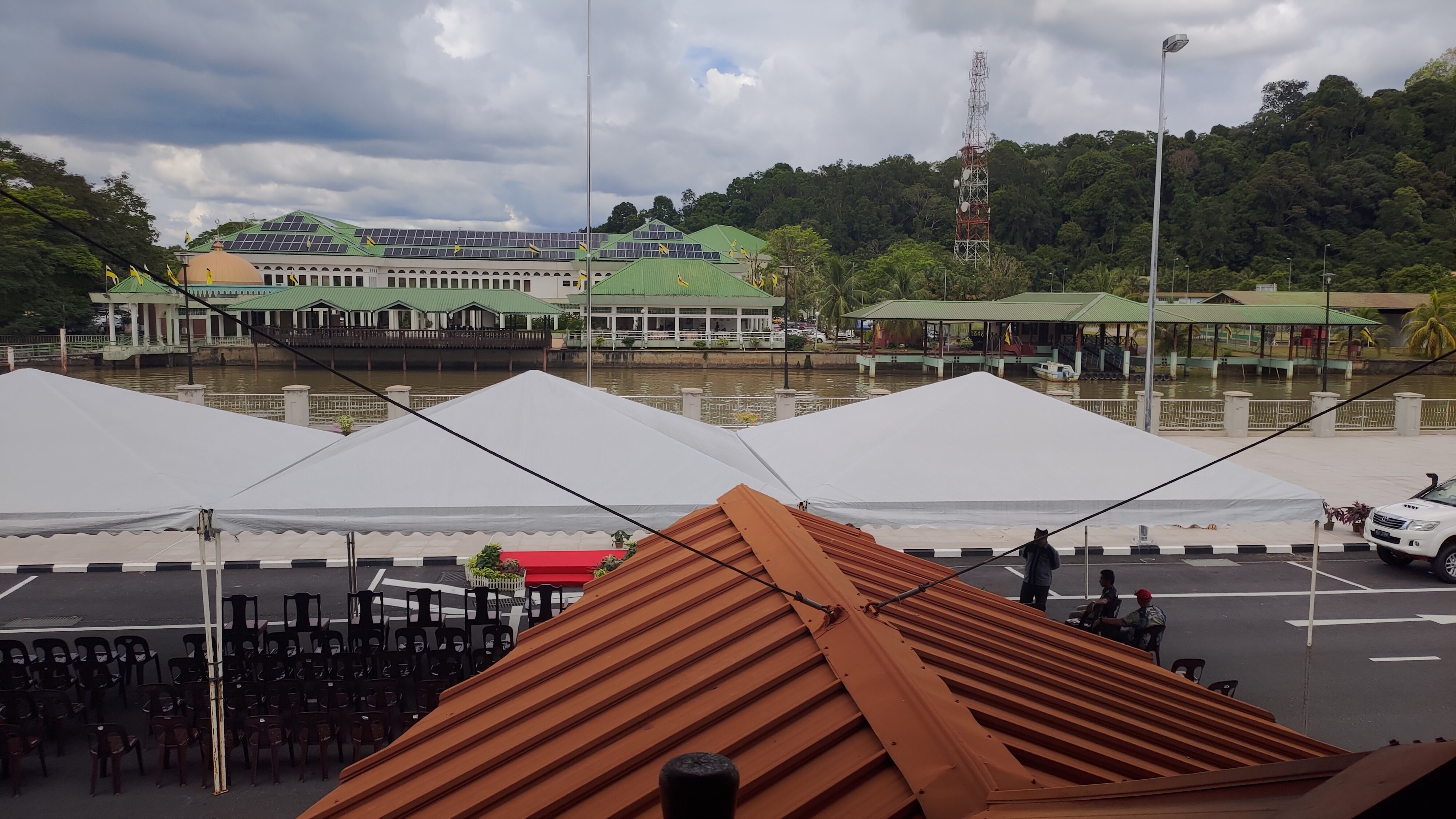
Government building
Accommodation in Temburong
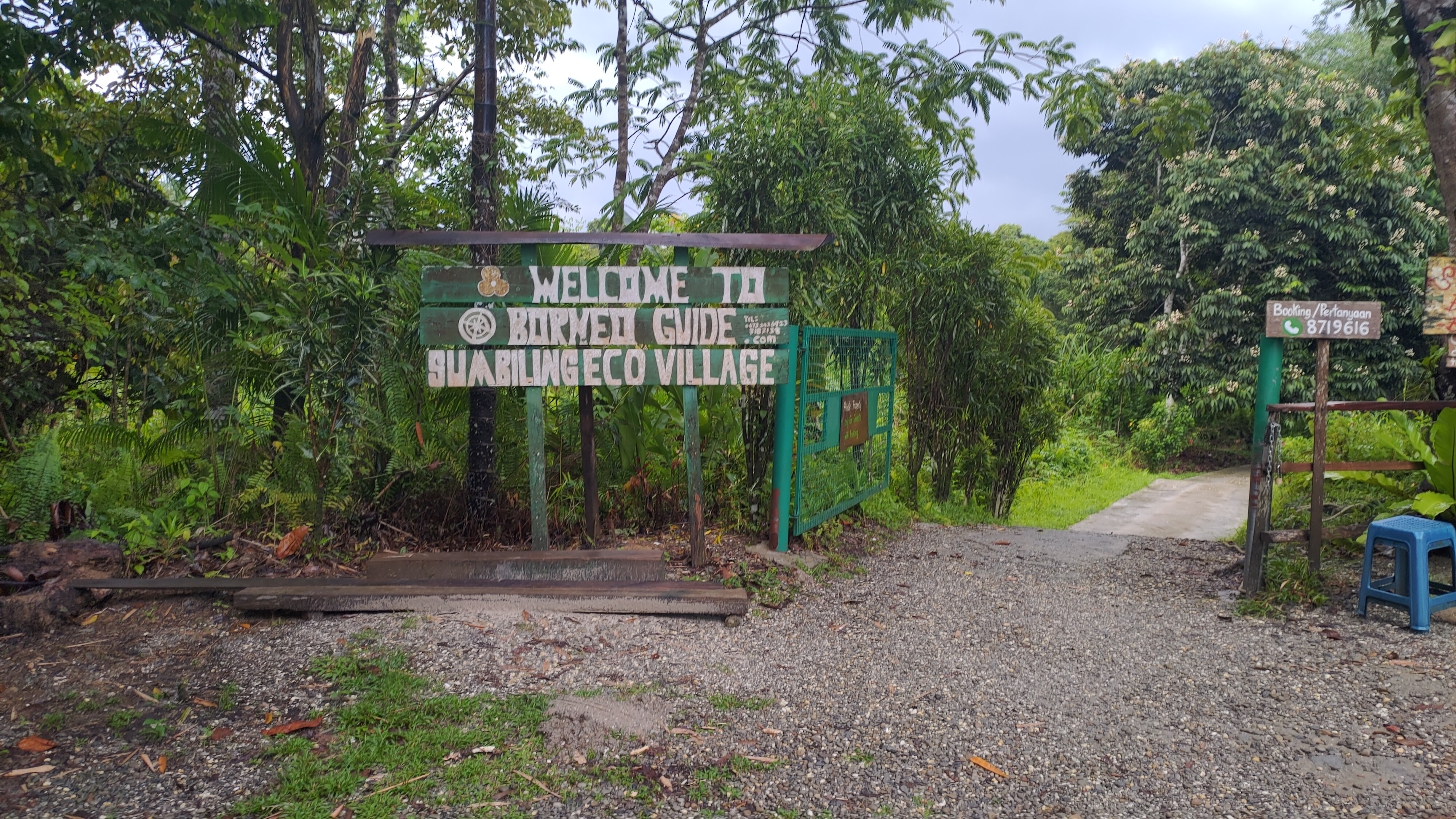
If you go to the southernmost point reachable by car, you will arrive near the entrance of the ULU National Park called Batan Duri.
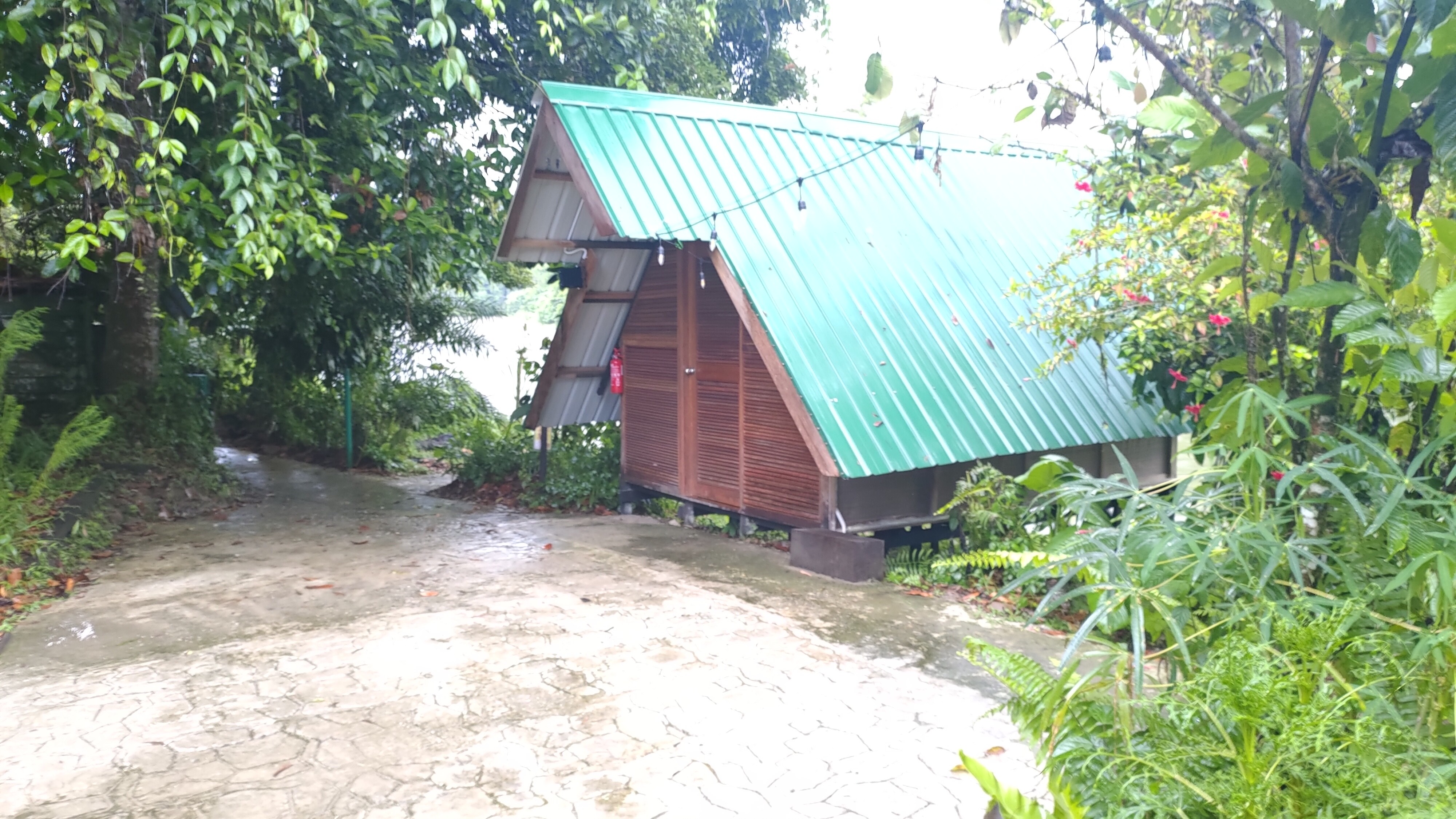
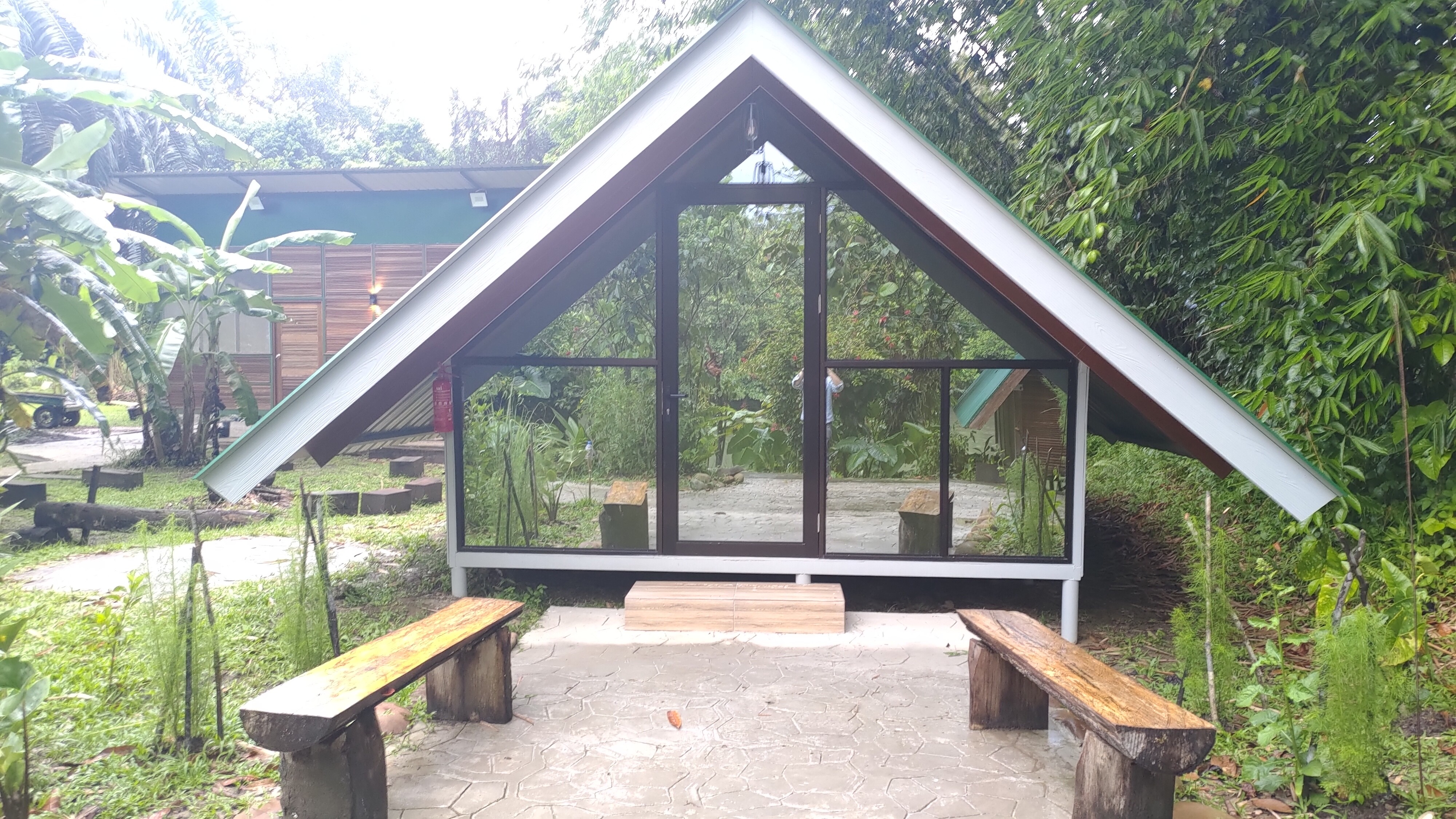
The image of accommodation in the jungle looks like this.
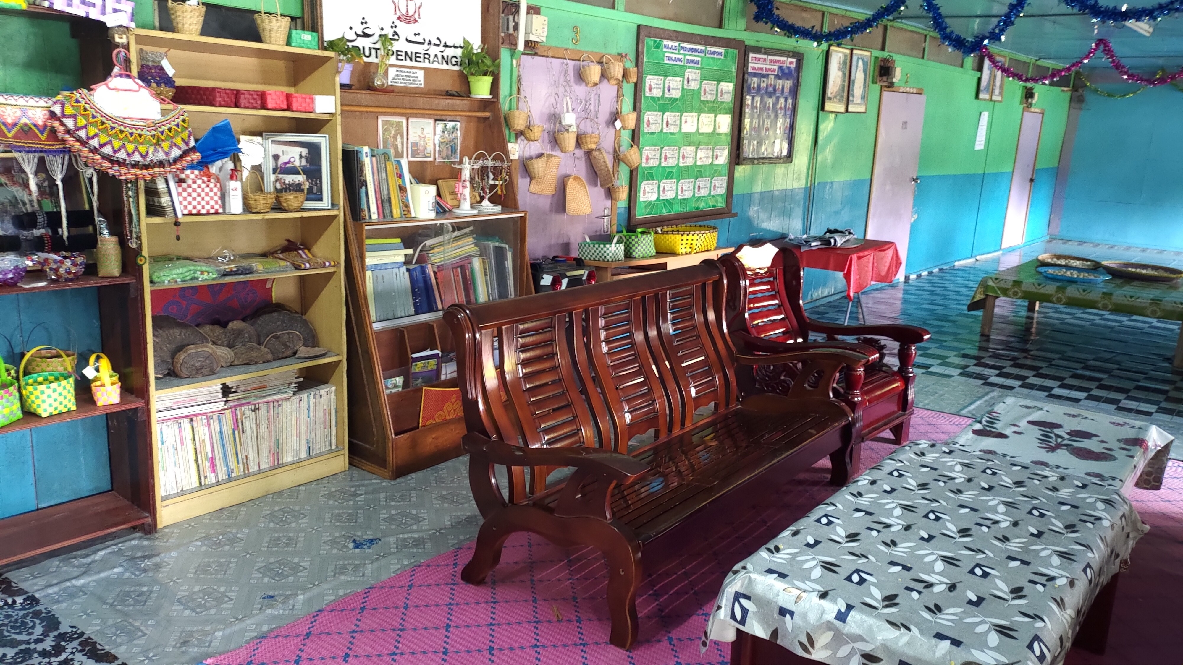
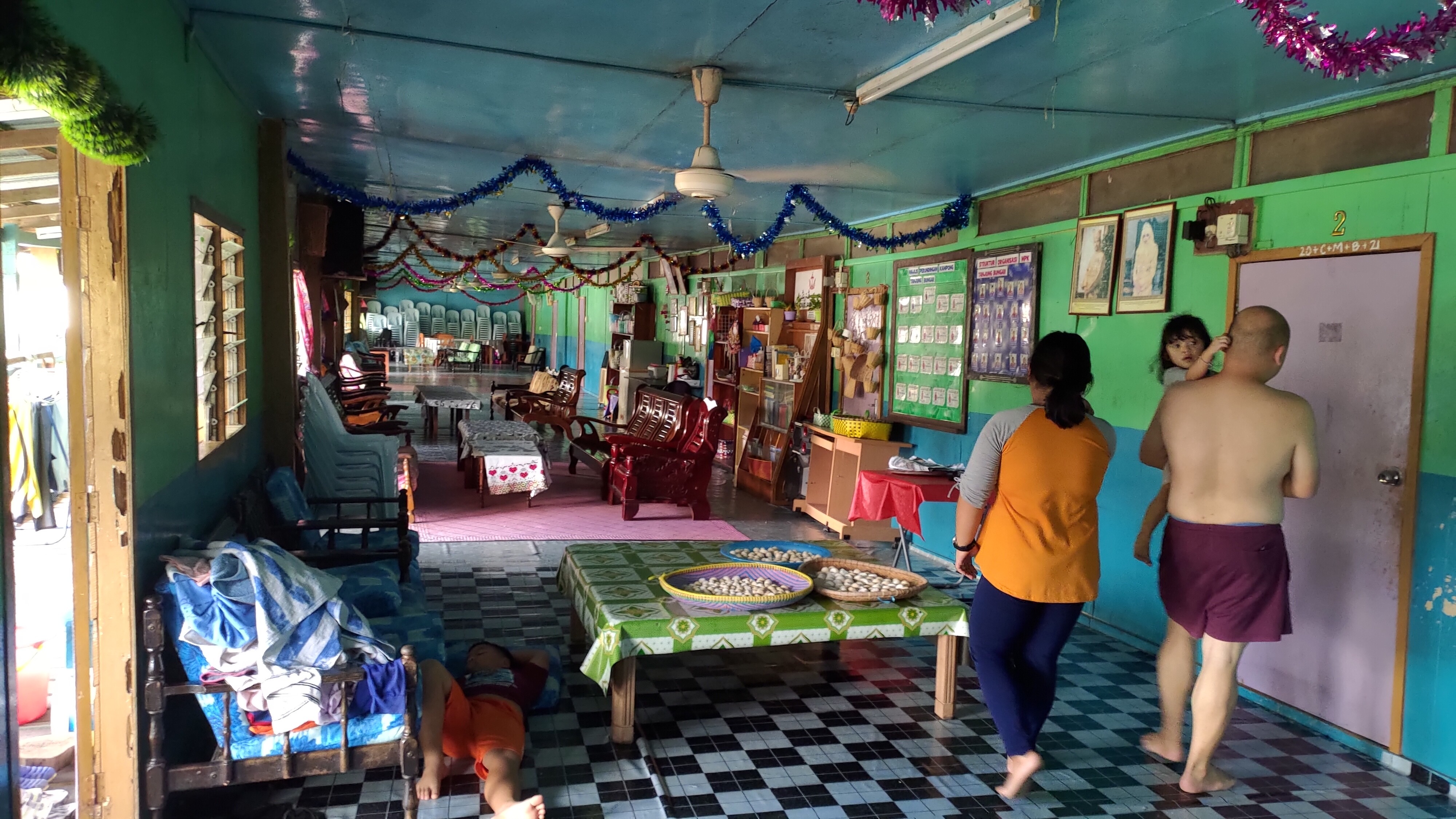
Longhouses in Temburong
Temburong is known for its longhouses.
There are things that look like this
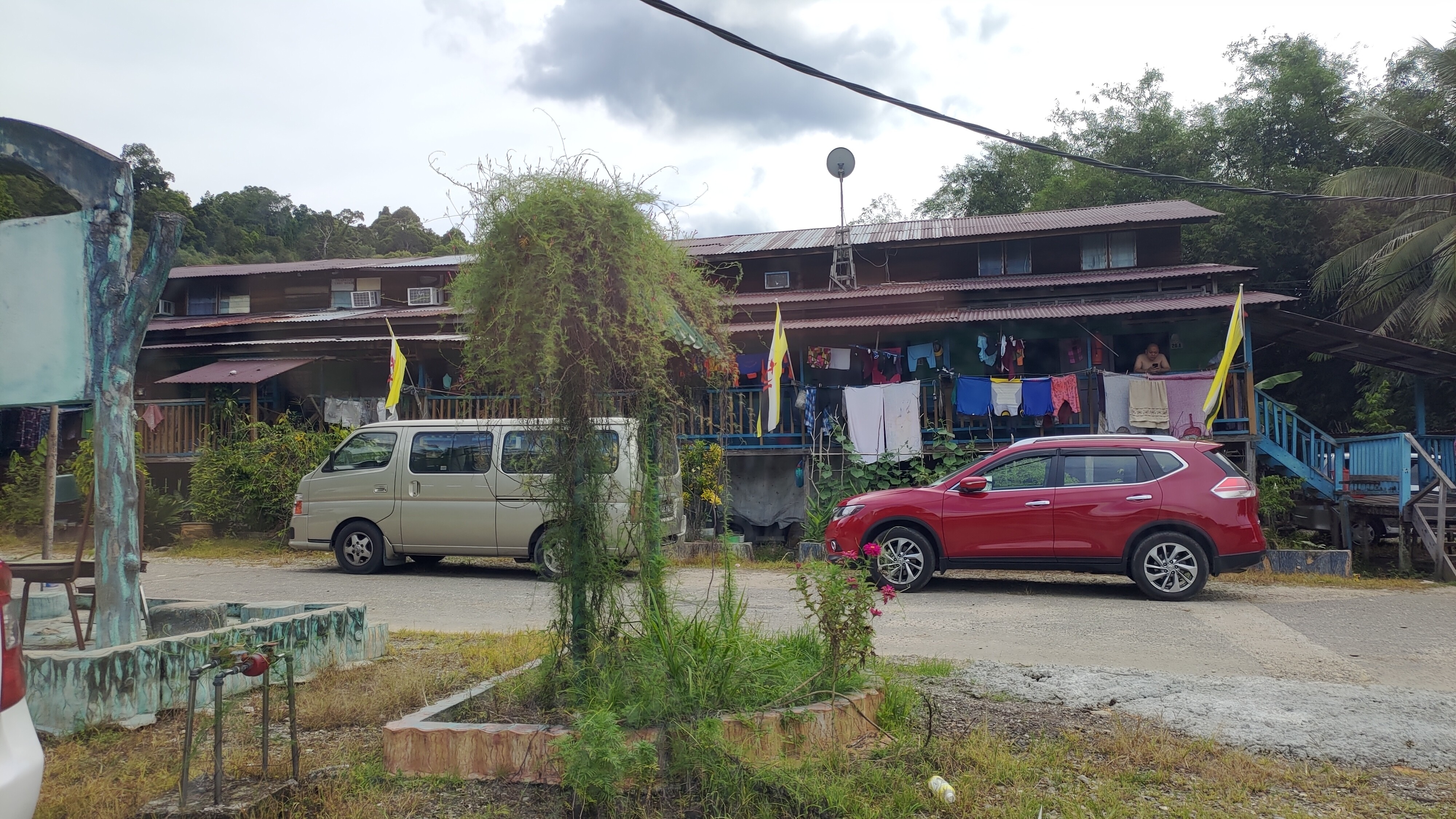
There are also some that are a bit more modern.
As the family grows, they build outwards, so they tend to become longer and longer.
The inside of the house looks like this
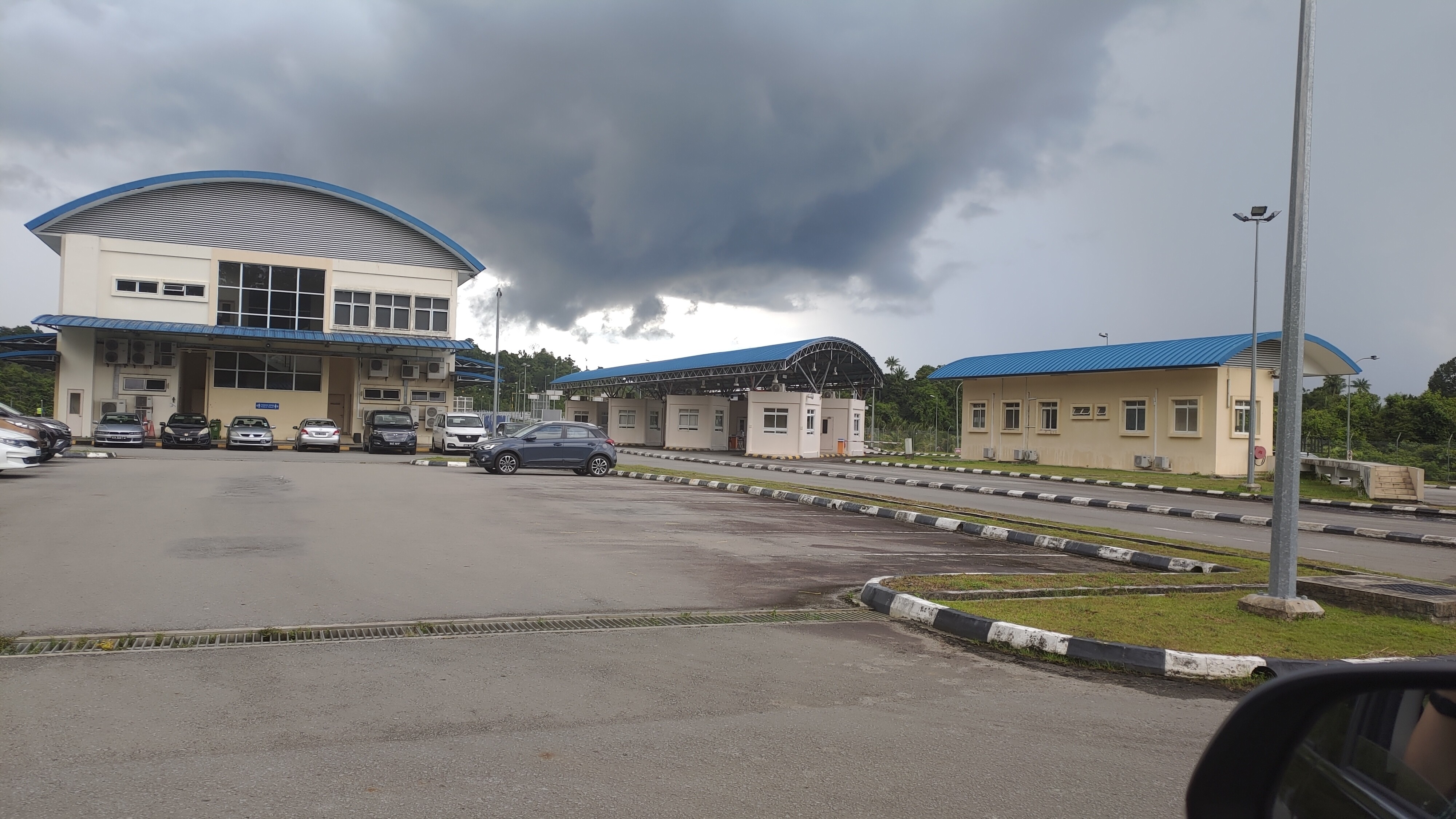
Checkpoint
Border checkpoint (west side). However, it is currently closed due to the COVID-19 pandemic.